ACC Managed Caves
https://acave.us/wordpress/managed-caves/
Audie Murphy Memorial Trail
37.35870, -80.23543
Angel's Rest
pearis mountain (sugar run section of AT) / white rock mountain in pearisburg
-> planned to enter by intersection of 460 and sr680 @ new river crossing
passes by angels rest
37.338196, -80.756113
parked here:
37.334176,-80.755196
ran across road
gorgeous view of pearisburg and surrounding mountains
vista near summit has large homoloidal boulders, several cool "caves"
Burke's Garden
start
-----
37.022746, -81.425380
Appalachian Trail - Chestnut Ridge Trailhead, Ceres, VA 24318
-> 37°06'16"N 81°12'04"W
supplies (ended up doing out and back from here)
--------
37.077251, -81.307124
Appalachian Trail Trailhead at VA 623, Appalachian National Scenic
Trail, Tazewell, VA 24651
Bottom Creek Gorge
Parking: 37.133040, -80.182546
Carvin's Cove
AT Entrance (Tinker)
Tinker Mountain Drive, Troutville
37.39102,-79.90653
Cascades
Trailhead: 37.352054,-80.599969
Butt Mountain O and B
↑ cascades trail (right side of stream)
← barney's wall trail
↔ barney's wall (detour O/B)
→ barney's wall connector trail
← forest road 714
~ 12 mi
The conservancy trail does not exist any longer
CRA
The Catawba Run around is a 50K++ that passes through Dragon's
Tooth, Tinker Cliffs, and Macafee Knob.
CRA Route
Dragon's Tooth
trailhead
37.378547, -80.156100
forest service site
Falls Ridge Preserve
falls ridge preserve (near Christiansburg)
37.19309, -80.32146
- two trails and 80ft spring-fed waterfall
Grayson Highlands
36.69056, -81.53223 (Parking is Free off of route 603)
Hoop Hole Trail/Iron Ore Knob
37.67392, -79.91773
Lots of swimming holes as you get closer to the streamside trail.
Cool slides at the falls.
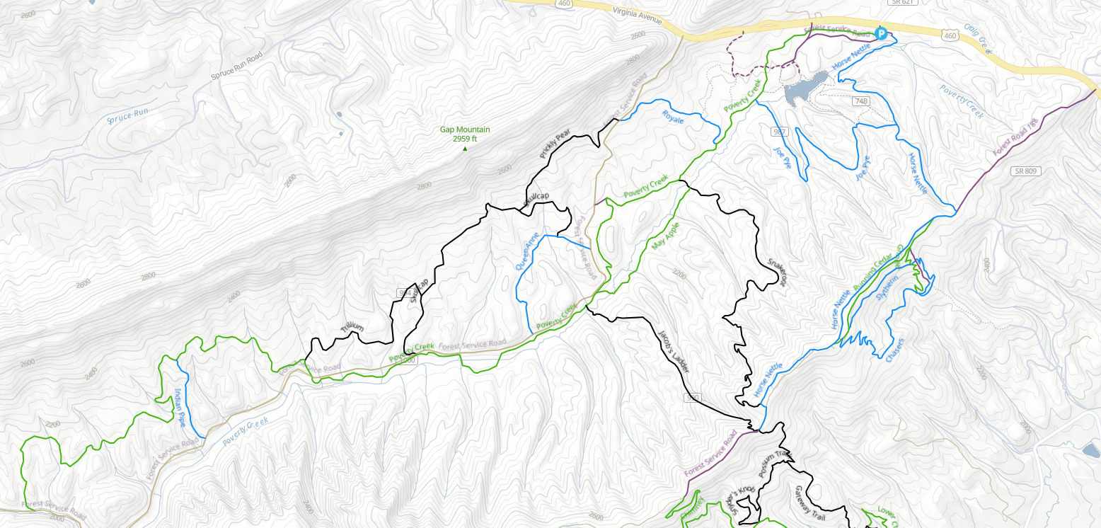
Interactive Map of Poverty Creek Managed Trails
https://www.povertycreektrails.org/maps
Kelly's Knob
start:
Appalachain Trail Parking
Northside Road, Huffman
37.35144,-80.37921
parking @ road closest to actual knob:
37.37279,-80.44649
Mill Creek
Mill Creek
37.31700,-80.79371
This also connects to Angel's Rest
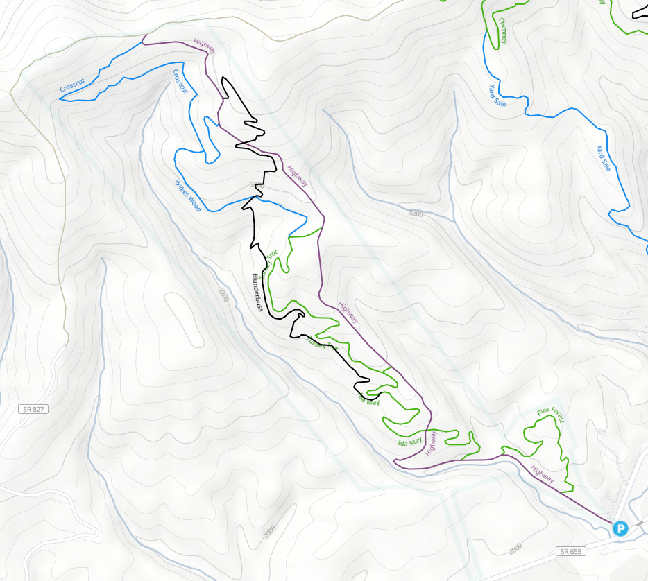
McDonald Hollow
Mountain Lake/Bald Knob
Mountain Lake/Bald Knob
37.35526,-80.53689
- can run up to the knob itself which has very cool geology+view
- there is a trail that loops around the lake which passes through
more sick rock formations
New River Cave
New River Cave (park near tunnel)
Location: 37.26848,-80.60039
New River Gorge
Endless Wall Trail NRG
38.06316,-81.05667
New River Trail
New River Trail Parking
37.04532,-80.74923
causeway was flooded first time we went, prevented further traversal
- passes fun bike dirt course
Pandapas
upper lot
37.285073, -80.460974
Promise Land
promiseland parking lot
37.46850,-79.50854
Sunset Field, Blue Ridge Parkway
37.50758,-79.52385
Rice Fields
(pearisburg)
37.36583, -80.74890
Rock Castle Gorge Loop
36.823272, -80.341811
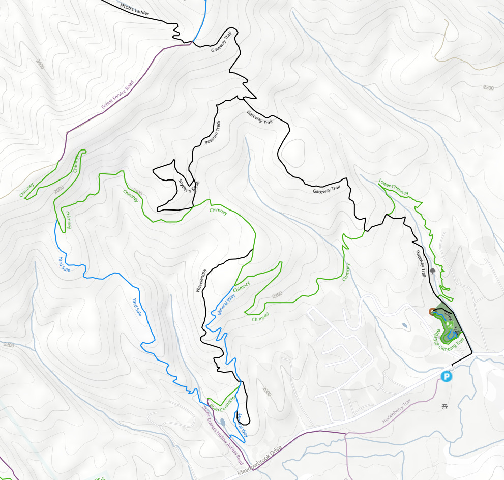
Stonecutters Hollow
gateway trailhead/meadowbrook parking
37.245154, -80.459412
Tawney's Cave
Tawney's Cave
37.31165,-80.51237
After walking on the road near the parking you should see the path
up on the side
Tinker Cliffs
(catawba)
37.45761, -80.01730
War Spur Loop
Parking for war branch trail and chestnut trail
37.39080,-80.50813
North up SR613 there is another parking lot at an AT entrance
where Wind Rock overlook is near the start. This has a
phenomenal view.
From here you can continue on the AT to the war spur connector
trail which will bring you back to the first parking
location.